
Everything you need to know about our ferry terminals
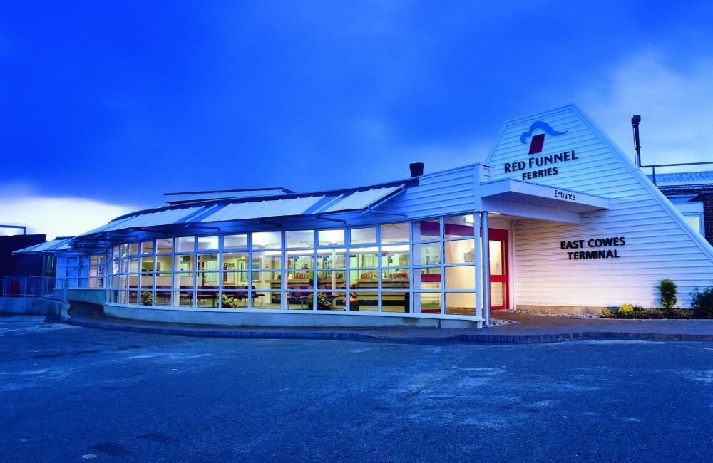
In Southampton, Red Funnel’s Terminal 1 and Terminal 2 are neighbours, while on the Isle of Wight our East Cowes and West Cowes terminals are separated by the River Medina. Explore terminal facilities and see how to get to our terminals on both sides of the Solent.
Serving vehicles, foot passengers and cyclists travelling to the Isle of Wight
Terminal 1 Southampton
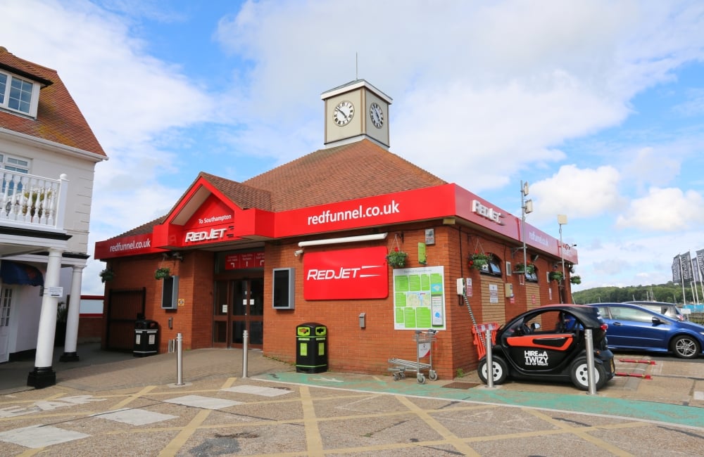
Serving foot passengers and cyclists using the Red Jet Hi-Speed service to the Isle of Wight
Terminal 2 Southampton
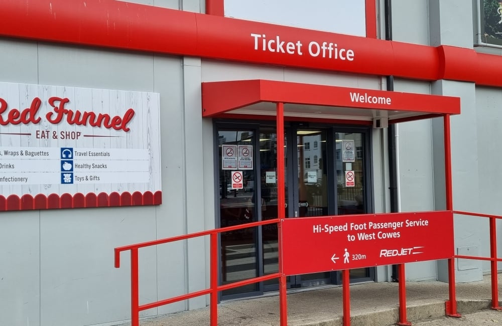
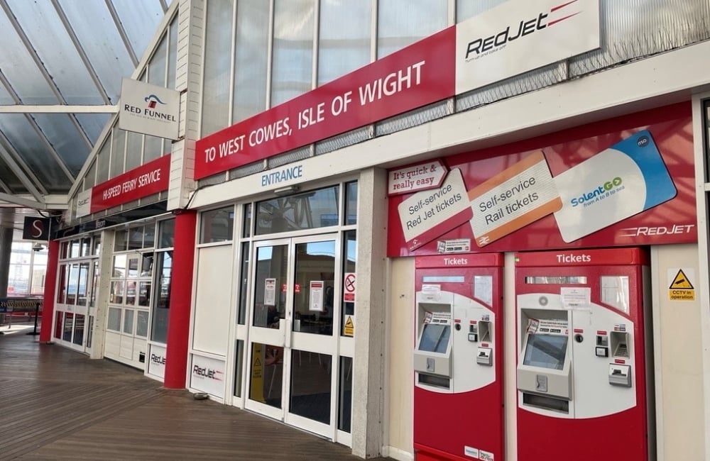
Serving foot passengers and cyclists using the Red Jet Hi-Speed service to Southampton
West Cowes Terminal
Serving vehicles, foot passengers and cyclists travelling to Southampton